


 Comprehensive weather insights help safeguard your operations and drive confident decisions to make everyday mining operations as safe and efficient as possible.
 Learn how to optimize operations with credible weather and environmental intelligence. From aviation safety to environmental compliance, our comprehensive suite of solutions delivers real-time insights, advanced forecasting, and precise monitoring capabilities.
 Extreme events have become more frequent. Jim Foerster examines the aspects and impacts of a more volatile climate system.
Forbes: The Weather Facts of Climate Change
Extreme events have become more frequent. Jim Foerster examines the aspects and impacts of a more volatile climate system.

Whether you are a new customer or a seasoned pro, you’ll likely have some questions about the full range of features that ClearPath Weather or our web-based maintenance decision support system have to offer, especially as we continue to enhance and update the platform.

Feeling frantic about the upcoming winter? Are all your maintenance operations ducks in a row? Leave the worry about the weather to Iteris. With over 20 years of weather forecasting for the transportation community, our 24/7 Weather Operations Center is staffed with experienced meteorologists forecasting the weather across the US.

As the warm days of summer transition to the cooler days of autumn, winter conditions start to appear on the horizon.
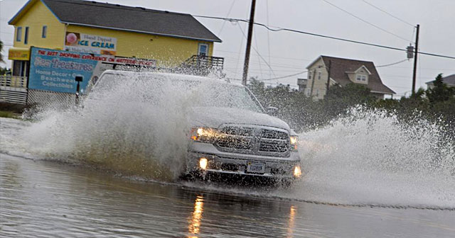
Dorian was the most powerful hurricane on record to strike the Bahamas with sustained winds of 185 miles per hour matching the second strongest hurricane ever recorded in the Atlantic.

DTN Meteorologist Jim Foerster on how airlines support the smoothest, safest, most time and cost-efficient flight flight plans through detailed weather and hazard alerting.
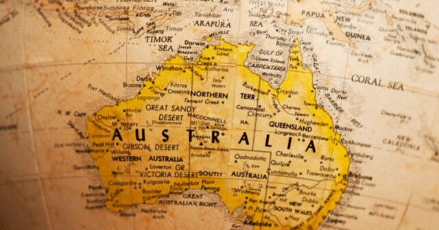
The types of severe weather typically experienced in Australia is influenced by very different geographical and regional climate drivers.

DTN Meteorologist Jim Foerster on Australia’s severe weather season which typically occurs from October through April and features drought, severe thunderstorms, flooding and tropical cyclones.
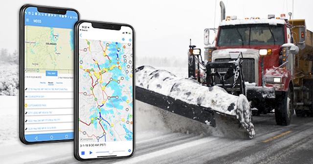
Every subscription to pavement forecast software from Iteris includes access to the web-based software, as well as the maintenance decision support system (MDSS) mobile app. Our app has many of the features of the full website on an easy-to-use mobile platform available for both Android and Apple.

A lot of propane could be needed for crop drying this year because the total area in the Corn Belt that could require it is substantial.