Expert video: Alerts with Brad Nelson.
Alerts Video


Expert video: Alerts with Brad Nelson.

The National Weather Service coined a new name for the revitalization of Hurricane Paulette: zombie tropical storm. It is just one of many “firsts” for the 2020 hurricane season.

Active hurricane seasons have the potential of disrupting the fuel supply. What more is in store for 2020?

Modern aircraft enjoy impressive technology and tools to help pilots and crews protect the safety of everyone on board. From fuel readers to the latest auto-pilot options, navigating and managing risk on board has never been easier. And the latest inflight aviation weather advisories make a pilot’s job even simpler.
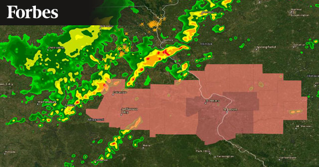
Recent advancements both in the weather industry and in Geographic Information System (GIS) mapping software are increasing the accuracy and timeliness of weather-driven business analytics.
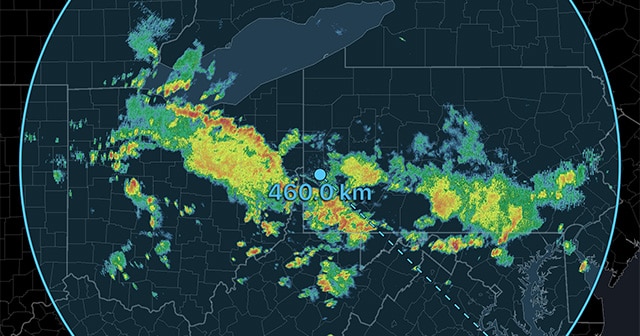
We’re pleased to announce the release of RadarScope 4.0. It’s available today for iOS, macOS, tvOS, and Android. Version 4.0 includes several new customer-facing features today, and under-the-hood changes that will lead to more new features down the road.

So far, the 2020 tropical storm season has brought a few firsts to the record books. Learn what to expect in the coming months with a recap of our recent webinar.
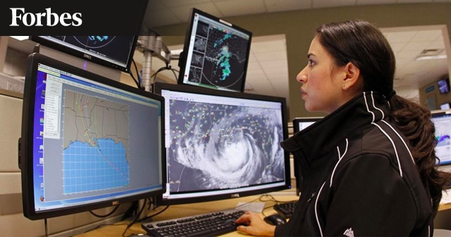
With more and more extreme weather events around the globe, having the resources of both the public and private weather services benefits businesses and consumers alike.

As the world works to adapt to climate change and its repercussions, dam and levee safety issues are becoming critical. Extreme rainfall events can cause severe damage to these structures.
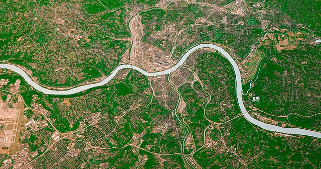
You need accurate data about the weather that impacts your fields. You also need it delivered in a time frame that allows you to act on it. Satellite imagery in agriculture can provide real-time data and trend analyses to maximize your operation.